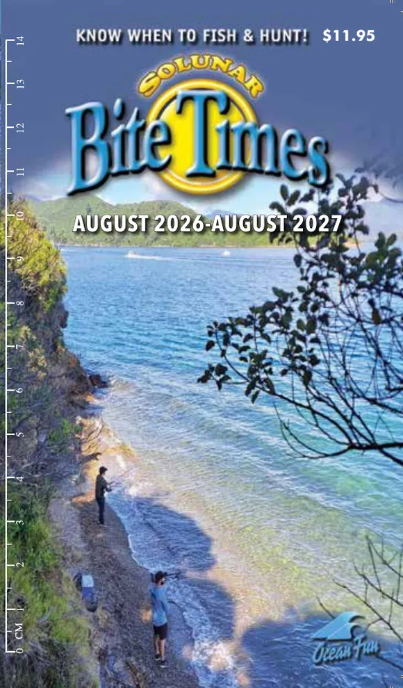
This edition
This edition
Northland & Auckland
- Region
- Northland · Auckland
- Product code
- SU126-27
- Edition
- August 2026 – July 2027
Daily tide tables
Times and heights are printed directly for these places.
- Onehunga
- Piha Beach
- Pouto Point
- Russell
- Waitematā
- Whangārei
64 more places are covered
The book includes approximate high- and low-tide time adjustments for each of these places.
- Ahipara
- Aotea Harbour
- Auckland
- Baylys Beach
- Bethell's Beach (Te Henga)
- Burgess Island (Pokohinu)
- Cape Maria van Diemen
- Cornwallis
- Coromandel Harbour
- Dairy Factory Wharf (Awanui River)
- Dargaville
- Dove's Bay
- East Coast Bays
- Fishing Rock (Raoul Island)
- Great Island (North West Bay)
- Gulf Harbour
- Houhora Harbour Entrance
- Island Point
- Kaiaua
- Kawakawa
- Kerikeri
- Kohukohu
- Leigh
- Mahurangi Harbour
- Man O’ War Bay
- Mangawhai Heads
- Mangonui
- Mansion House Bay (Kawau Island)
- Maraetai
- Marsden Point
- Matakana River (Sandspit)
- Matiatia Bay
- Muriwai Beach
- Murrays Bay
- Nagle Cove
- Omaia Island (Awanui River)
- Onetaunga Bay
- Opononi
- Opua
- Orewa
- Papakura Channel (LPG Terminal)
- Paratutae Island
- Parengarenga Harbour
- Port Jackson
- Pukenui Wharf (Houhora Harbour)
- Scheigis Rock (Awanui River)
- Shelly Beach
- Stanmore Bay
- Te Kopuru
- Thames
- Tikinui
- Tinopai
- Tiritiri Matangi Island
- Tryphena
- Tutukaka Harbour
- Unahi Jetty
- Waiiti Bay
- Waitangi
- Waiuku
- Weiti River
- Whakapirau
- Whangamumu Harbour
- Whangaroa
- Whangaruru Harbour (Rocky Point)
Handy for the tackle box, glove box or kitchen drawer. Each book gives you a full year of daily high and low tides (times and heights) for the main ports of your region, plus the sun, the moon, and the best fishing times — when the moon is overhead or underfoot.
Coromandel, Bay of Plenty & Raglan
- Region
- Coromandel Peninsula · Bay of Plenty · Raglan
- Product code
- SU226-27
- Edition
- August 2026 – July 2027
Daily tide tables
Times and heights are printed directly for these places.
- Raglan
- Tauranga
- Thames
- Whakatane
- Whangamata
- Whitianga
33 more places are covered
The book includes approximate high- and low-tide time adjustments for each of these places.
- Aotea Harbour
- Bowentown (Katikati Entrance)
- Coromandel Harbour
- East Cape
- Haurere Point
- Hicks Bay
- Katikati (Kauri Point)
- Kawhia
- Maketu Beach
- Maraetai
- Moutohora Island (Whale Island)
- Nagle Cove (Great Barrier Island)
- Ohiwa
- Omaio Bay (Motunui Island)
- Omokoroa Beach
- Opotiki
- Papamoa
- Pauanui
- Port Jackson
- Port Ohope
- Slipper Island (Whakahau)
- Tairua
- Tapuaetahi Bay (Boat Harbour)
- Te Kaha
- Tolaga Bay (Cooks Cove)
- Town Wharf
- Tryphena (Great Barrier Island)
- Waihi Beach
- Waikato River Entrance
- Waipiro Bay
- Whakaari (White Island)
- Whale Island (Moutohora Island)
- White Island
Handy for the tackle box, glove box or kitchen drawer. Each book gives you a full year of daily high and low tides (times and heights) for the main ports of your region, plus the sun, the moon, and the best fishing times — when the moon is overhead or underfoot.
Taranaki, Kāpiti Coast, Wellington & Wairarapa
- Region
- Taranaki · Kāpiti Coast · Wellington · Wairarapa
- Product code
- SU326-27
- Edition
- August 2026 – July 2027
Daily tide tables
Times and heights are printed directly for these places.
- Castlepoint
- New Plymouth
- Paraparaumu
- Porirua
- Wellington
- Whanganui
15 more places are covered
The book includes approximate high- and low-tide time adjustments for each of these places.
- Cape Palliser (Matakitakiakupe)
- Cape Terawhiti (Oteranga Bay)
- Kapiti Island (Waiorua Bay)
- Karori Rock Light
- Kawhia
- Makara Bay (Cook Strait)
- Manawatu River Entrance
- Mokau River Mouth
- Opunake Bay
- Otaki River Entrance
- Patea
- Plimmerton Boating Club
- Waikanae River Entrance
- Waitara River Entrance
- Waitarere Beach
Handy for the tackle box, glove box or kitchen drawer. Each book gives you a full year of daily high and low tides (times and heights) for the main ports of your region, plus the sun, the moon, and the best fishing times — when the moon is overhead or underfoot.
Gisborne & Hawke's Bay
- Region
- Gisborne · Hawke's Bay
- Product code
- SU426-27
- Edition
- August 2026 – July 2027
Daily tide tables
Times and heights are printed directly for these places.
13 more places are covered
The book includes approximate high- and low-tide time adjustments for each of these places.
- Akitio River Entrance
- Bare Island (Motu o Kura)
- Cape Kidnappers
- Cape Turnagain
- Castlepoint
- East Cape
- Hicks Bay
- Portland Island
- Punawaiti
- Tolaga Bay (Cooks Cove)
- Waikokopu
- Waipiro Bay
- Wairoa River Mouth
Handy for the tackle box, glove box or kitchen drawer. Each book gives you a full year of daily high and low tides (times and heights) for the main ports of your region, plus the sun, the moon, and the best fishing times — when the moon is overhead or underfoot.
Marlborough Sounds
- Region
- Marlborough Sounds
- Product code
- SU526-27
- Edition
- August 2026 – July 2027
Daily tide tables
Times and heights are printed directly for these places.
- French Pass
- Havelock
- Picton
- Port Underwood
- Tory Channel (Te Iro Bay)
- Wairau Bar
18 more places are covered
The book includes approximate high- and low-tide time adjustments for each of these places.
- Cape Campbell
- Catherine Cove
- Croisilles Harbour
- Elaine Bay
- Fishermans Rock
- Greville Harbour
- Kahikatea (East Bay)
- Long Island
- Lucky Bay
- Marfells Beach
- Okiwa Bay
- Okukari Bay
- Pelorus Sound Entrance
- Portage
- Stephens Island (Takapourewa)
- Te Iro Bay (Tory Channel)
- Ward Beach
- Whakatahuri
Handy for the tackle box, glove box or kitchen drawer. Each book gives you a full year of daily high and low tides (times and heights) for the main ports of your region, plus the sun, the moon, and the best fishing times — when the moon is overhead or underfoot.
Nelson, Golden Bay & West Coast
- Region
- Nelson · Golden Bay · West Coast
- Product code
- SU626-27
- Edition
- August 2026 – July 2027
Daily tide tables
Times and heights are printed directly for these places.
- Collingwood
- French Pass
- Greymouth
- Hokitika
- Nelson
- Westport
31 more places are covered
The book includes approximate high- and low-tide time adjustments for each of these places.
- Anita Bay
- Astrolabe Roadstead
- Blanket Bay
- Bligh Sound
- Bruce Bay
- Chalky Island - Sealers Bay
- Charles Sound
- Coal Island - Fishing Bay
- Croisilles Harbour
- Deep Cove
- Elmslie Bay
- Fishermans Rock
- Front Islands
- George Sound
- Gilbert Islands
- Greville Harbour
- Haast River Entrance
- Havelock
- Jackson Bay
- Karamea River Entrance
- Many Islands
- Mapua
- Motueka
- Motupipi Inlet
- Okarito
- Pelorus Sound Entrance
- Small Craft Harbour Islands
- Stephens Island (Takapourewa)
- Tarakohe
- Waitapu Wharf
- Whanganui Inlet
Handy for the tackle box, glove box or kitchen drawer. Each book gives you a full year of daily high and low tides (times and heights) for the main ports of your region, plus the sun, the moon, and the best fishing times — when the moon is overhead or underfoot.
Kaikōura, Canterbury, Otago & Southland
- Region
- Kaikōura · Canterbury · Otago · Southland
- Product code
- SU726-27
- Edition
- August 2026 – July 2027
Daily tide tables
Times and heights are printed directly for these places.
- Bluff
- Kaikoura
- Lyttelton
- Oamaru
- Port Chalmers
- Timaru
61 more places are covered
The book includes approximate high- and low-tide time adjustments for each of these places.
- Akaroa
- Amberley Beach
- Antipodes Island
- Ashburton River Mouth
- Auckland Island (Carnley Harbour)
- Birdlings Flat
- Brighton (Otago)
- Campbell Island (Perseverance Harbour)
- Cape Campbell
- Cathedral Caves
- Christchurch Estuary
- Clutha Mouth
- Dunedin
- Easy Harbour
- Ernest Islands
- Ferrymead
- Flour Cask Bay
- Golden Bay
- Gore Bay
- Halfmoon Bay (Oban)
- Invercargill
- Kaiapoi
- Kawakaputa Bay
- Lake Ellesmere
- Lake Forsyth
- Marfells Beach
- Moeraki
- Motunau
- New Brighton Pier
- New River Entrance
- Nugget Point
- Okains Bay
- Opihi
- Orari
- Oreti Beach
- Otago Harbour Entrance
- Port Adventure
- Port Craig
- Port Levy
- Rakaia River Mouth
- Rangitata River Mouth
- Riverton
- Small Craft Retreat
- Snares Island
- Solander Island
- St Clair
- Sumner Beach
- Taiaroa Head
- Taieri Mouth
- Taylors Mistake
- Tokomairiro Mouth
- Waiau Mouth
- Waikawa Harbour
- Waikouaiti
- Waikuku Beach
- Waimakariri River Mouth
- Waipati
- Waitaki Mouth
- Waitangi (Chatham Island)
- Ward Beach
- Yankee River
Handy for the tackle box, glove box or kitchen drawer. Each book gives you a full year of daily high and low tides (times and heights) for the main ports of your region, plus the sun, the moon, and the best fishing times — when the moon is overhead or underfoot.